Place guide
Ojito Wilderness Hoodoos
A remote stretch of BLM wilderness near Cabezon filled with sculpted hoodoos, colorful badlands, and exposed fossils.
📍GPS: 35.494361, -106.92269
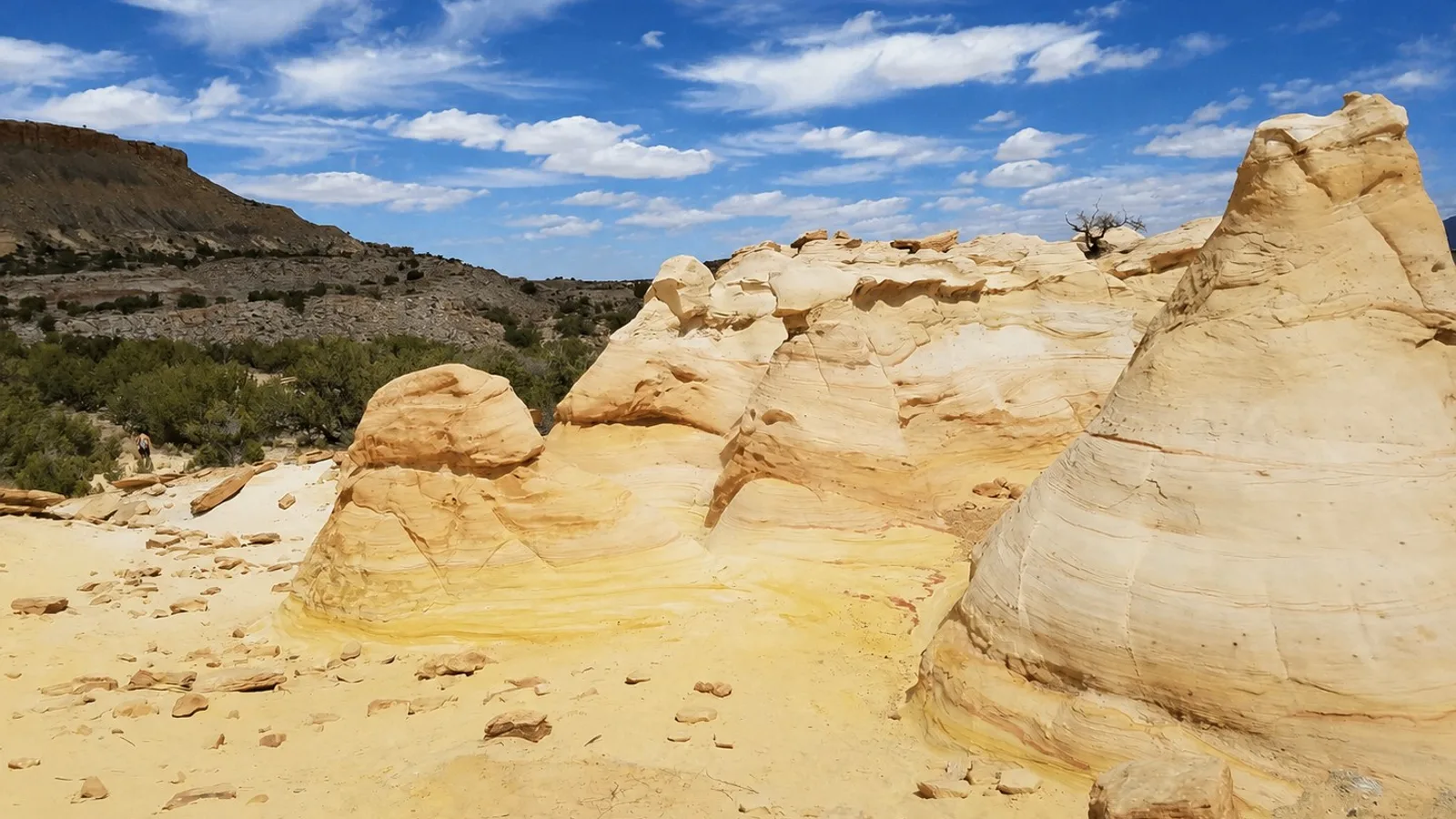
The Ojito Wilderness Hoodoo trail leads into a unique pocket of desert northwest of Albuquerque.
Pale yellow and orange sandstone rises from the otherwise rugged landscape in rounded towers and fins. They are not as extensive as the hoodoos at Bisti, but Ojito still is a great landscape to explore. The formations are found inside the Ojito Wilderness, a protected area southwest of San Ysidro filled with badlands, mesas, arroyos, multicolored cliffs, and exposed layers of ancient rock.
Hoodoo Trail
The Hoodoo Trail is a 2-mile roundtrip hike that passes directly through some of Ojito’s most unique sandstone formations. The trail is primitive, but the hoodoos begin appearing quickly as you travel north from Cabezon Road. Eventually, the trail reaches an overlook above an expanse of eroded badlands. The path then loops back toward the trailhead, offering more opportunities to enjoy the hoodoos!
What is a Hoodoo?
Ojito has been carved from layers of sandstone, shale, and limestone deposited over many thousands of years. Softer layers erode faster than harder rock, gradually leaving behind isolated pillars, rounded towers, cap rocks, and other unusual shapes known as hoodoos. The surrounding wilderness is also known for much older discoveries, with fossils from the roughly 150-million-year-old Morrison Formation found throughout the area, including dinosaur bones and large pieces of petrified wood. One of the most important nearby discoveries was Seismosaurus, an enormous long-necked dinosaur whose remains were first discovered a few miles away.
Getting There
The Hoodoo Trail is reached from Cabezon Road, southwest of San Ysidro. From Bernalillo, take US 550 northwest for about 21 miles, turn left onto Cabezon Road, and follow it toward Ojito Wilderness. The BLM parking area is near the trailhead, with the primitive trail beginning about 400 feet east along the road. The final approach is on dirt roads, avoid if wet.
Nearby places
Zia Pueblo
A small Keresan pueblo whose sun symbol was adopted as the central emblem of the New Mexico state flag.
Guadalupe Ruins
A remote ancestral Puebloan ruin site in northwestern New Mexico.
Jemez Springs
A tiny mountain village known for hot springs, red-rock scenery, and easy access to the Jemez Mountains.