Place guide
Kasha-Katuwe Tent Rocks National Monument
A striking landscape of cone-shaped tent rock formations leading into a narrow slot canyon.
📍GPS: 35.656394, -106.411131
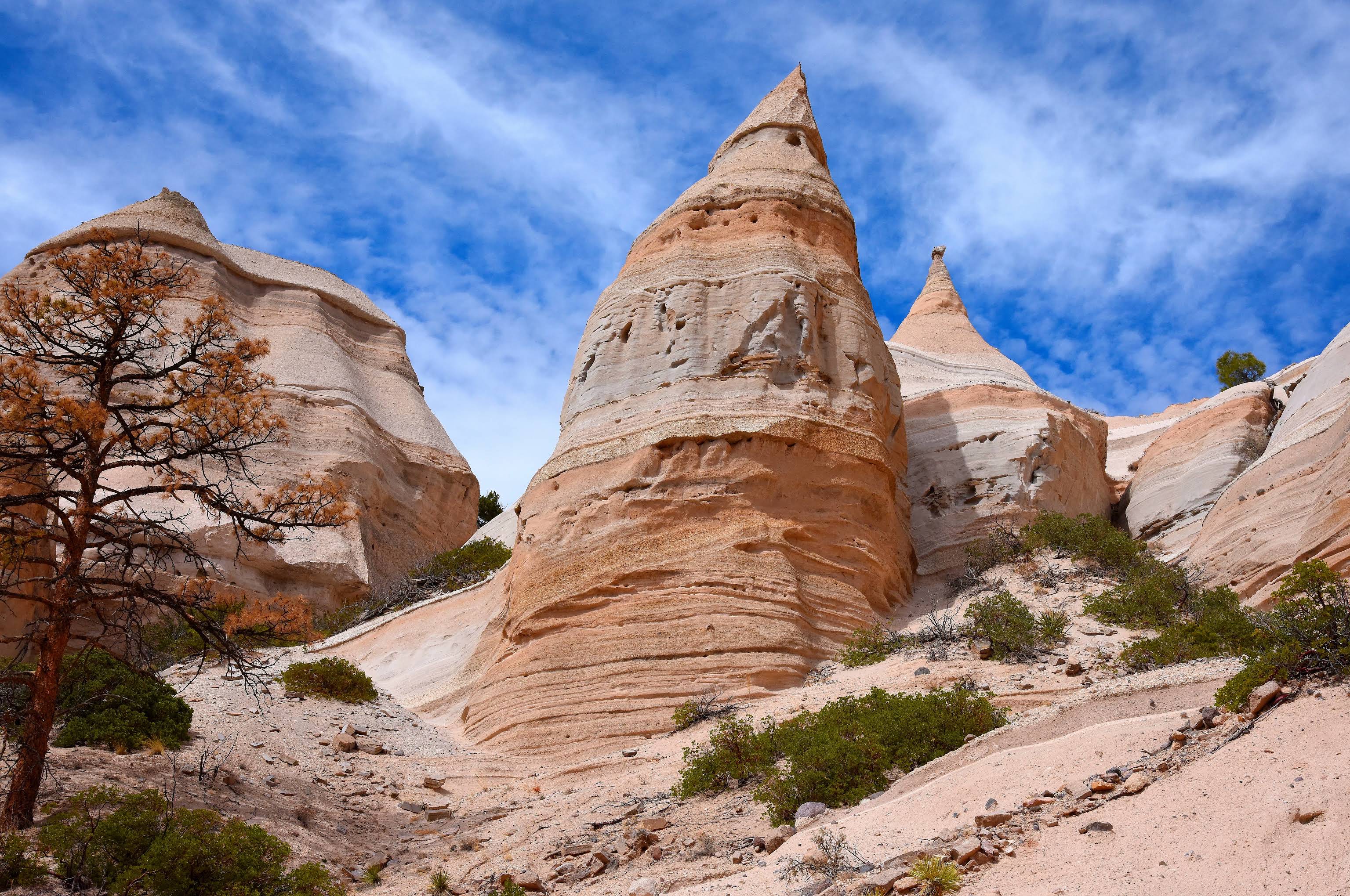
Kasha-Katuwe Tent Rocks National Monument is one of New Mexico’s most unusual landscapes. The monument protects more than 4,000 acres of volcanic terrain shaped by eruptions that occurred 6–7 million years ago, leaving behind towering cone-shaped rock formations known as tent rocks. The name Kasha-Katuwe means “white cliffs” in the Keres language of nearby Cochiti Pueblo. The monument is co-managed by the Bureau of Land Management and Cochiti Pueblo and the only road access to the monument passes through Cochiti Pueblo lands.
Hike the Canyon Trail
The highlight of a visit is the Canyon Trail, a 3-mile round-trip hike through a narrow slot canyon reaching to the mesa above. Along the way you’ll squeeze between rock walls, pass hundreds of tent rocks, and finish with sweeping views of the Jemez and Sangre de Cristo Mountains. The trail includes steep sections and ladders near the top and is moderately difficult.
Cave Loop Trail
For a shorter walk, the Cave Loop Trail is an easy 1.2-mile loop that passes beneath the tent rocks and leads to a small cave carved into the volcanic tuff. While it doesn’t climb to the mesa, it offers an excellent look at the monument’s unique geology.
Reservations & Access
Advance planning is required to visit Tent Rocks.
Visitors must obtain:
- A timed-entry reservation through Recreation.gov.
- A Cochiti Pueblo Tribal Access Pass, since the entrance road crosses Cochiti Pueblo lands.
Reservations often sell out during weekends and holidays, so booking ahead is strongly recommended.
Nearby places
Cochiti Pueblo
A Pueblo known for storyteller pottery and the Kasha-Katuwe Tent Rocks
Kewa Pueblo
A large Keresan pueblo known for Heishi jewelry.
Los Alamos
A city built in secrecy and the birthplace of the world's first atomic bomb.