Place guide
Cibola National Forest
A diverse forest spanning the Sandia, Manzano, and Mount Taylor regions, offering cool mountain escapes from the desert.
📍GPS: 34.385562, -107.657648
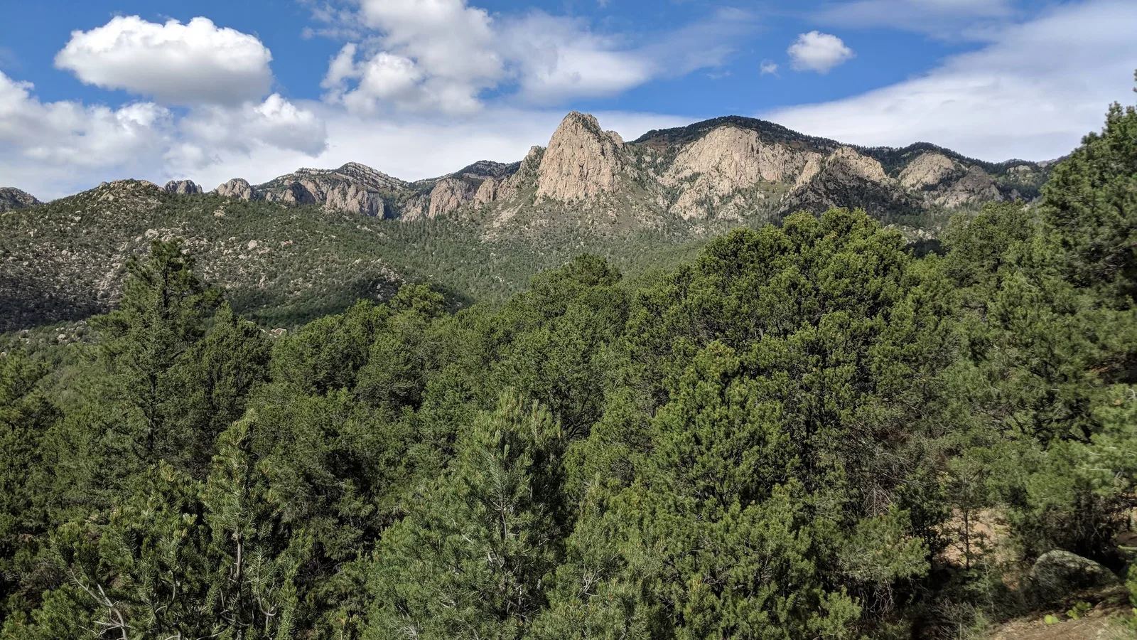
Cibola National Forest is unlike most national forests—it isn’t one continuous block of land. Instead, it is divided among several mountain districts across central and western New Mexico, along with four National Grasslands on the High Plains.
Why Go
From Albuquerque, the Sandias are the obvious draw — you can be in ponderosa pine forest within 20 minutes of the city. The less-visited Manzanos offer solitude, ruins of old Spanish missions, and excellent fall foliage. Mount Taylor, a sacred peak in Navajo and Pueblo tradition, rewards hikers with views across the Colorado Plateau.
Top Spots
- Sandia Mountains — La Luz Trail, Kiwanis Cabin, and the Sandia Peak Tram
- Manzano Mountains Wilderness — ridgeline hiking with views of the Rio Grande valley
- Fourth of July Canyon — Some of the best fall colors in New Mexico
- Mount Taylor — 11,305-foot summit hike, sacred to several Pueblo and Navajo communities
- Magdalena Mountains — remote trails near Socorro, habitat for rare plants and raptors
Getting There
For the Sandias, take Tramway Blvd NE in Albuquerque east to the Sandia Ranger District. For the Manzanos, head south on I-25 then east on NM-337 or NM-55. Mount Taylor is off I-40 at Grants via NM-547.
Nearby places
Datil Wells
Recreation area with camping, short trails, and remnants of the old Magdalena cattle-drive route.
Very Large Array
Twenty-seven massive radio telescope dishes on the Plains of San Agustín used to image black holes and galaxies.
Pie Town
A tiny high-desert community on the Continental Divide famous for its homemade pies.